Canyon Resources discovers 70 additional bauxite plateaux using LiDAR survey
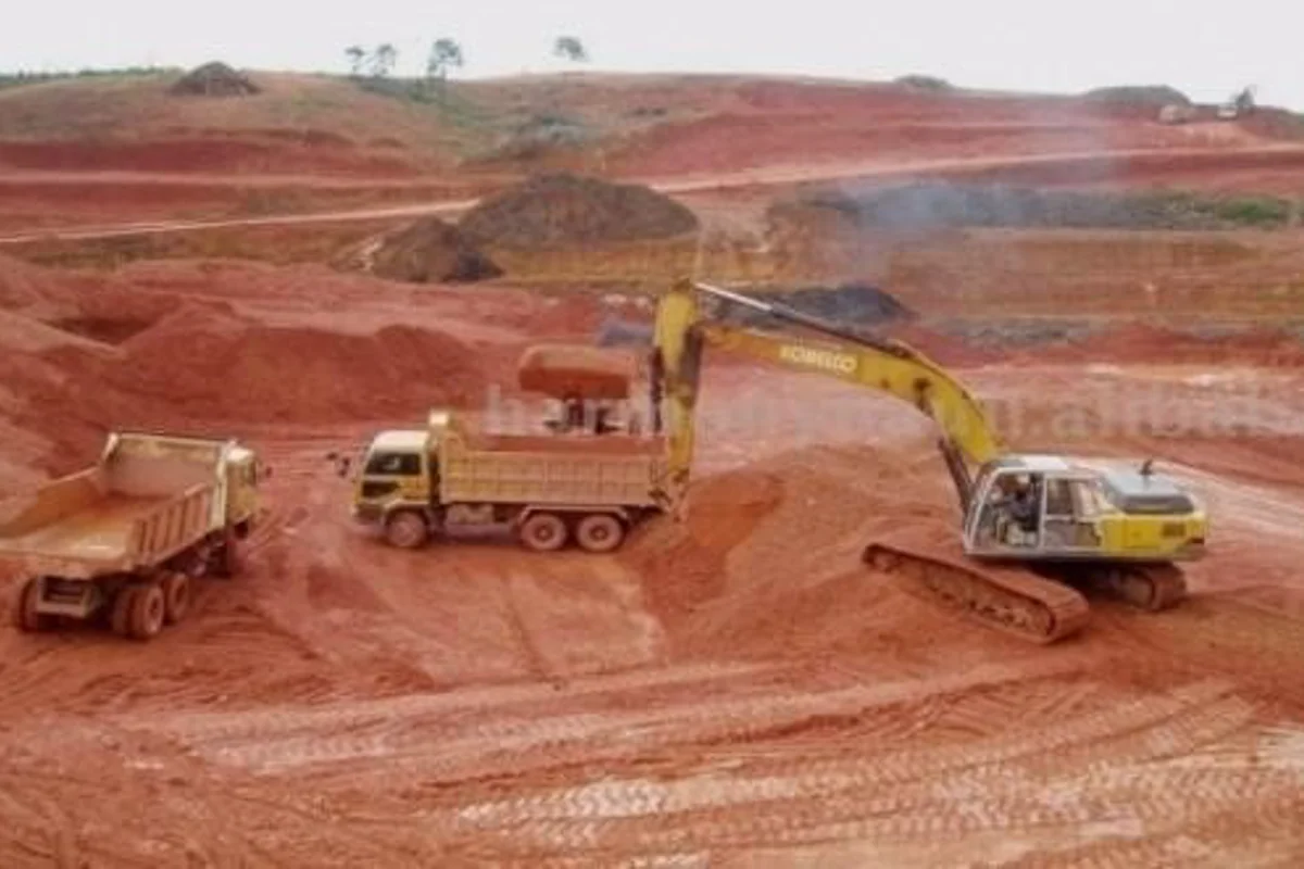
Seventy additional bauxite plateaux have been recently discovered by Canyon Resources Limited across three permits at Minim Martap project, according to Proactive Investors report. Canyon used a light imaging, detection and ranging (LiDAR), and high-resolution ortho-photographic survey to identify the plateaux.
The company reportedly processed data from the survey into a highly accurate and detailed elevation model (DEM), which enabled them to identify the size, location and elevation of the additional plateaux on the Minim Martap, Makan and Ngaoundal permits.
Phillip Gallagher, Canyon managing director said, “It is pleasing to see that the untested bauxite plateau that can be seen into the distance when visiting the project are all at a similar elevation as the identified high-grade bauxite plateaux.”
He also commented, “The Minim Martrap project has the potential to be one of the largest and highest-grade bauxite deposits globally and it is located alongside operating and accessible rail infrastructure.”
Canyon chief geologist Alexander Shaw said, “The additional plateaux represent a 188% increase in the identified surface area at the same elevation as the 14 plateaux which comprise the current Minim Martap resource.”

He further added, “Characteristics of the new plateaux resemble those already tested and the company has a high level of confidence that this survey data provides a catalyst for further expansion of the Minim Martap resource.”
The newly found plateaux represent 65 per cent of all the plateaux surface area identified at the target elevation on the three permits.
Metro Mining Ltd. restarts bauxite mining with strong anticipation of an increase in demand
Next articleBald Hill mine produces and stockpiles 31,600 tonnes of bauxite at Bell Bay port ahead of schedule
Grow with
AL Circle